Best Hiking on Vancouver Island
Vancouver Island is home to mountains, glaciers, lakes, forests of centuries-old trees, and hundreds of kilometres of coastline. The hiking opportunities here range from multi-day coastal treks to full-day summit hikes and peaceful walks through meadows and valleys. Along the rugged west coast of the island, you’ll find life-changing hikes, like the West Coast Trail and the Juan de Fuca Trail. These trails take you along beautiful open stretches of beach, over rugged shorelines and headlands, and through a forest of huge Sitka spruce; western hemlock; and western red cedar, B.C.'s provincial tree. On the east coast of the island, you’ll find more gentle and accessible hikes, such as the Kinsol Trestle Trail, which crosses one of the world’s tallest railway trestle bridges, or the Wild Pacific Trail, which offers stunning views of the ocean and the lighthouse in Ucluelet. In the interior of the island, you’ll find ancient forests and alpine areas to explore on foot, such as Cathedral Grove, where you can walk among some of the oldest and largest trees in Canada, or Strathcona Park, where you can hike to lakes, waterfalls, and glaciers. Some of the hiking trails on Vancouver Island are suitable for all skill and fitness levels, while others require more experience and preparation. You should always check the trail conditions, weather, and regulations before you go, and pack accordingly. Some trails may require reservations, permits, or fees. I hope you enjoy exploring these beautiful places.
Best Hiking on Vancouver Island
1. Juan de Fuca Marine Trail
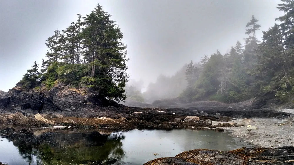
This is a multi-day hike that runs along the wild west coast of Vancouver Island, from China Beach to Port Renfrew. You can access the trail from different points and enjoy the views of the ocean, the beaches, and the forests of huge trees. The trail is challenging and requires good fitness and preparation.
- Official website: Juan de Fuca Marine Trail
- Trail map: Juan de Fuca Marine Trail Map
- Hike time: 3 to 4 days
- Distance: 47 km
- Elevation gain: 1,500 m
2. West Coast Trail
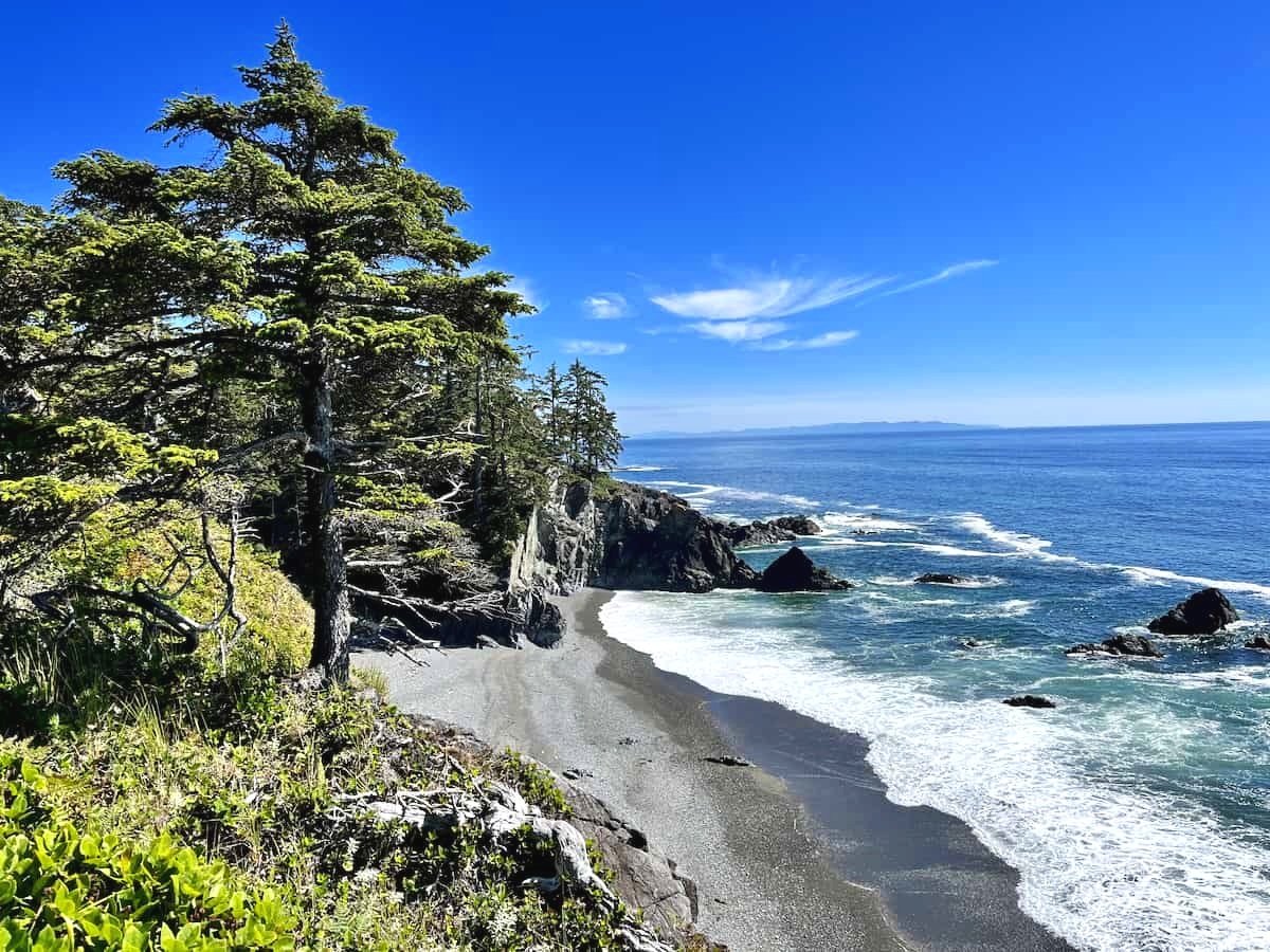
This is one of the most famous and popular hikes in Canada, and for a good reason. The West Coast Trail is a 75-km-long adventure that takes you through the Pacific Rim National Park Reserve, along the rugged and remote coastline. You will encounter sandy beaches, rocky cliffs, waterfalls, caves, lighthouses, and wildlife. The trail is only open from May to September and requires a reservation and a permit.
- Official website: West Coast Trail
- Trail map: West Coast Trail Map
- Hike time: 5 to 7 days
- Distance: 75 km
- Elevation gain: 2,000 m
3. Cathedral Grove, MacMillan Park
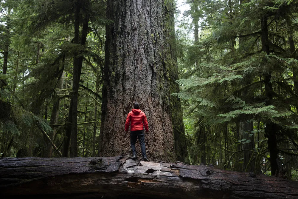
This is a short and easy hike that takes you to an ancient forest of giant Douglas fir trees, some of which are over 800 years old and 9 meters in diameter. The hike is located in MacMillan Provincial Park, near Port Alberni, and has two loop trails that are well-maintained and accessible. This is a great place to experience the awe and wonder of nature.
- Official website: Cathedral Grove
- Trail map: Cathedral Grove Map
- Hike time: 1 hour
- Distance: 3 km
- Elevation gain: 50 m
4. Rainforest Hike, Loops A & B
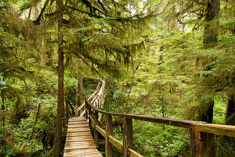
This is another short and easy hike that takes you to a lush and green rainforest, full of ferns, mosses, and towering trees. The hike is located in the Pacific Rim National Park Reserve, near Tofino, and has two loop trails that are connected by a boardwalk. You will feel like you are in a different world as you walk through this magical place.
- Official website: Rainforest Hike
- Trail map: Rainforest Hike Map
- Hike time: 1 hour
- Distance: 2 km
- Elevation gain: 100 m
5. Wild Pacific Trail
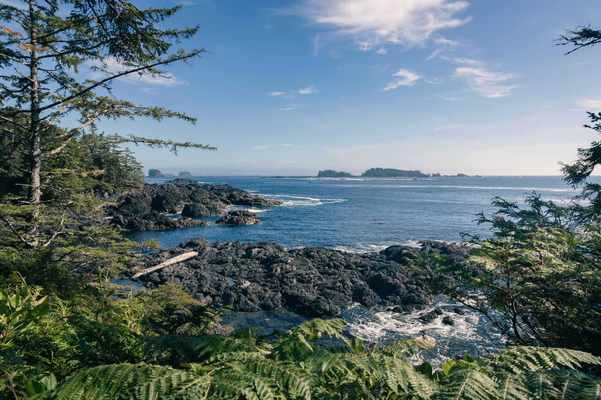
This is a scenic and moderate hike that follows the edge of the Pacific Ocean, offering stunning views of the waves, the rocks, the islands, and the wildlife. The hike is located in Ucluelet, and has several sections that can be done separately or together. You will also see historical landmarks, such as the Amphitrite Lighthouse and the WWII Radar Station.
- Official website: Wild Pacific Trail
- Trail map: Wild Pacific Trail Map
- Hike time: 2 to 3 hours
- Distance: 9 km
- Elevation gain: 200 m
6. Coast Trail, Sooke
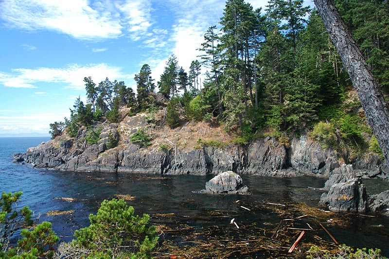
This is a challenging and rewarding hike that takes you along the rugged and beautiful coastline of East Sooke Regional Park. You will encounter rocky headlands, sandy beaches, forested slopes, and amazing views of the Strait of Juan de Fuca and the Olympic Mountains. The trail is well-marked but has some steep and rough sections, so be prepared.
- Official website: Coast Trail
- Trail map: Coast Trail Map
- Hike time: 6 to 8 hours
- Distance: 10 km
- Elevation gain: 500 m
7. Mount Work Trail
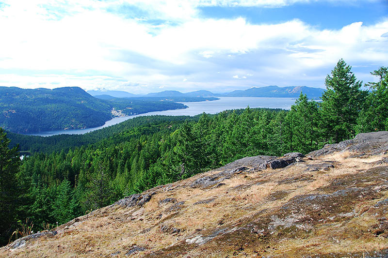
This is a strenuous and rewarding hike that takes you to the summit of Mount Work, the highest point in the Gowlland Tod Range. You will enjoy panoramic views of the Saanich Peninsula, the Gulf Islands, and the Olympic Mountains. The trail is located in Mount Work Regional Park, near Victoria, and has some steep and rocky sections, so be careful.
- Official website: Mount Work Trail
- Trail map: Mount Work Trail Map
- Hike time: 4 to 5 hours
- Distance: 8 km
- Elevation gain: 600 m
8. San Josef Bay Trail

This is a relatively easy and enjoyable hike that takes you to a stunning beach with sea stacks, tide pools, and sand dunes. The hike is located in Cape Scott Provincial Park, on the northwestern tip of Vancouver Island, and has a well-maintained gravel trail that is mostly flat. This is a great place to relax and explore the natural beauty of the area.
- Official website: San Josef Bay Trail
- Trail map: San Josef Bay Trail Map
- Hike time: 2 to 3 hours
- Distance: 5 km
- Elevation gain: 50 m
9. Elk River Trail
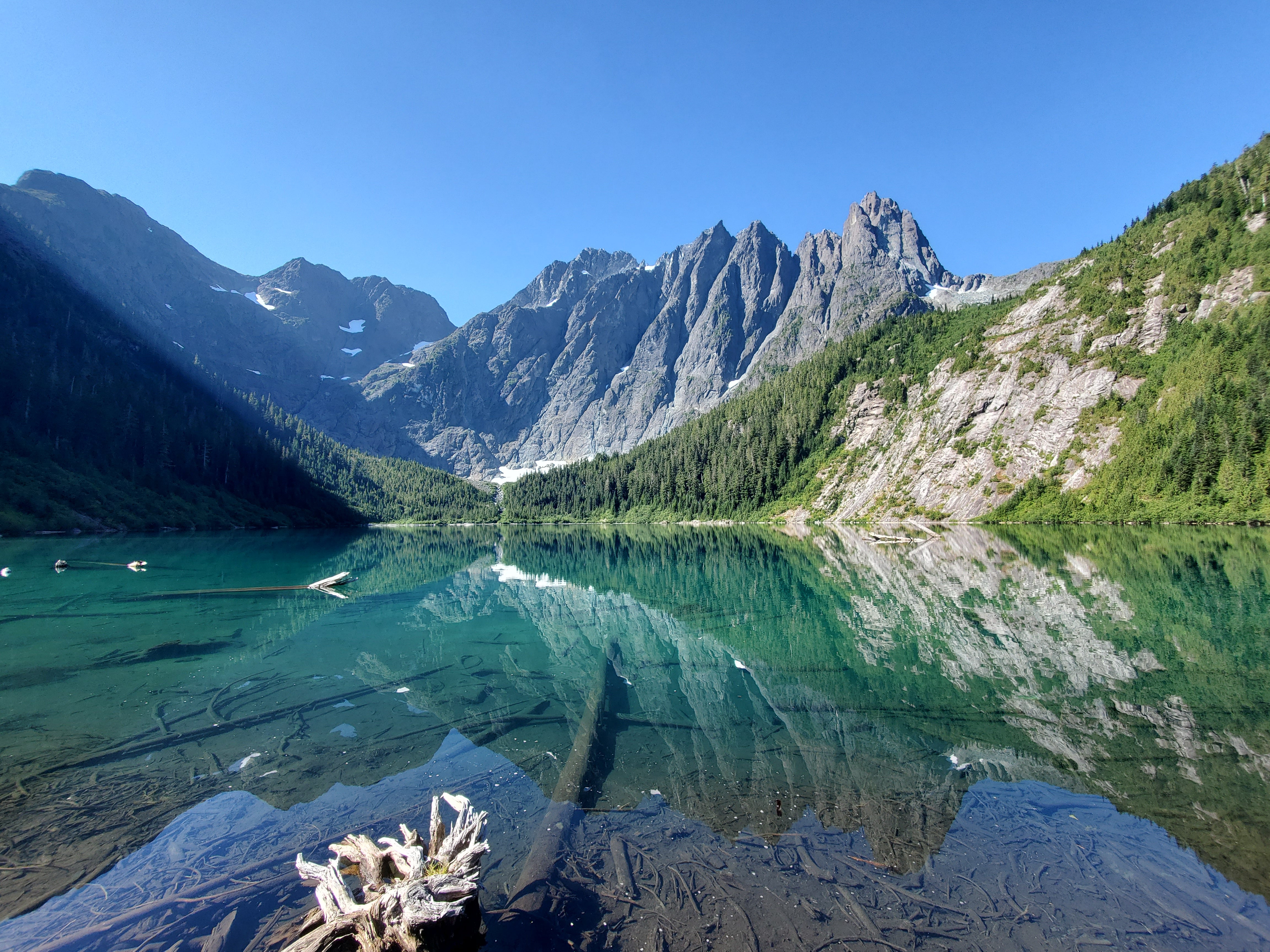
This is a challenging and spectacular hike that takes you to the base of the Elk River Falls, a 25-meter-high cascade that plunges into a deep pool. The hike is located in Strathcona Provincial Park, the oldest provincial park in British Columbia, and has a well-marked trail that follows the Elk River through a valley of old-growth forest and alpine meadows. The trail is also a popular route to access the Golden Hinde, the highest peak on Vancouver Island.
- Official website: Elk River Trail
- Trail map: Elk River Trail Map
- Hike time: 6 to 8 hours
- Distance: 22 km
- Elevation gain: 600 m
10. Paradise Meadows Loop Trail
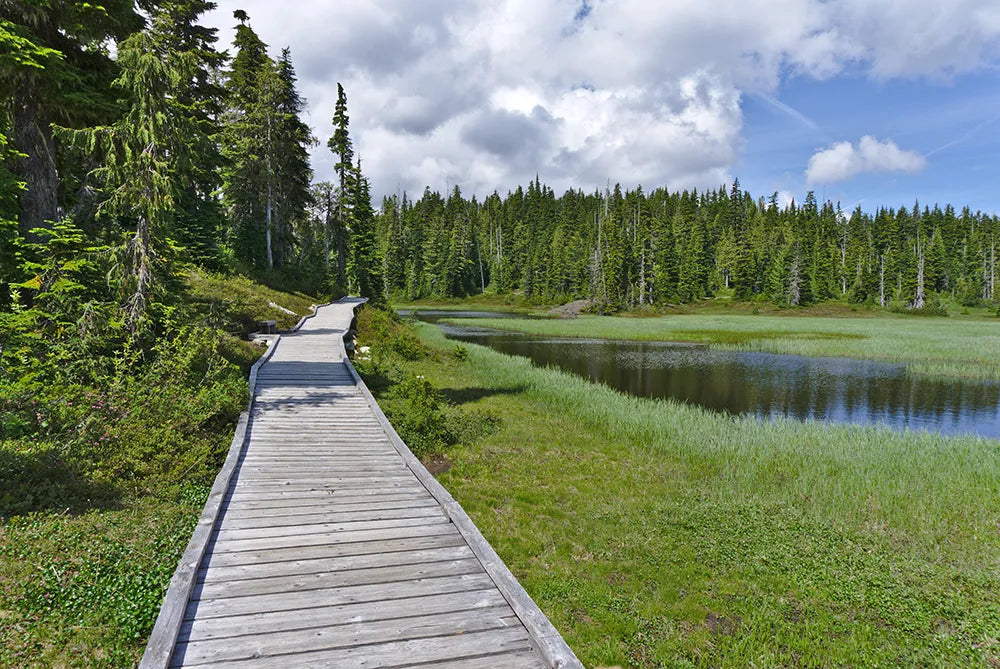
This is a moderate and pleasant hike that takes you to a subalpine area of lakes, meadows, and mountains. The hike is located in Strathcona Provincial Park, near Mount Washington Alpine Resort, and has a well-maintained boardwalk trail that is accessible and informative. You will see a variety of plants, birds, and wildlife, as well as views of the surrounding peaks.
- Official website: Paradise Meadows Loop Trail
- Trail map: Paradise Meadows Loop Trail Map
- Hike time: 2 to 3 hours
- Distance: 6 km
- Elevation gain: 150 m
11. Kinsol Trestle Trail
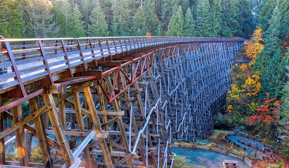
This is a short and easy hike that takes you to one of the world's tallest railway trestle bridges, spanning 187 meters across the Koksilah River. The hike is located in the Cowichan Valley, near Shawnigan Lake, and has a smooth and flat trail that is suitable for all ages and abilities. You will learn about the history of the railway and enjoy the views from the bridge deck.
- Official website: Kinsol Trestle Trail
- Trail map: Kinsol Trestle Trail Map
- Hike time: 30 minutes
- Distance: 2 km
- Elevation gain: 50 m
12. Seal Bay Nature Park
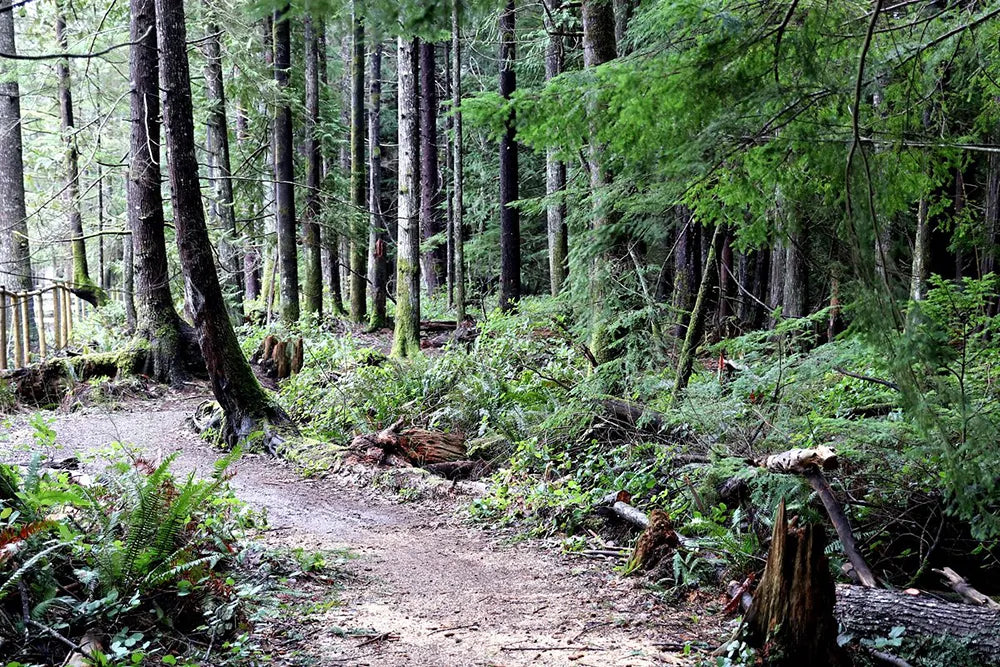
This is a relaxing and diverse hike that takes you to a nature park with over 50 km of trails, ranging from easy to difficult. The hike is located in the Comox Valley, near Courtenay, and has a variety of habitats, such as forests, wetlands, meadows, and beaches. You will see a rich flora and fauna, including seals, eagles, deer, and salmon.
- Official website: Seal Bay Nature Park
- Trail map: Seal Bay Nature Park Map
- Hike time: 1 to 4 hours
- Distance: 2 to 10 km
- Elevation gain: 50 to 200 m.
13. Holland Creek Hiking Trails
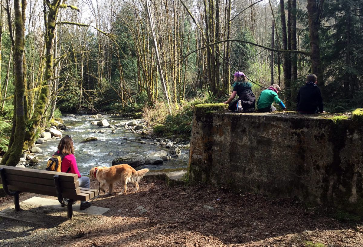
This is a moderate and scenic hike that takes you along the Holland Creek, a salmon-bearing stream that flows through the town of Ladysmith. The hike is located in the Chemainus area, and has several loop trails that vary in length and difficulty. You will see waterfalls, bridges, forests, and wildlife along the way.
- Official website: Holland Creek Hiking Trails
- Trail map: Holland Creek Hiking Trails Map
- Hike time: 1 to 3 hours
- Distance: 3 to 10 km
- Elevation gain: 100 to 300 m
14. Mount Finlayson Loop
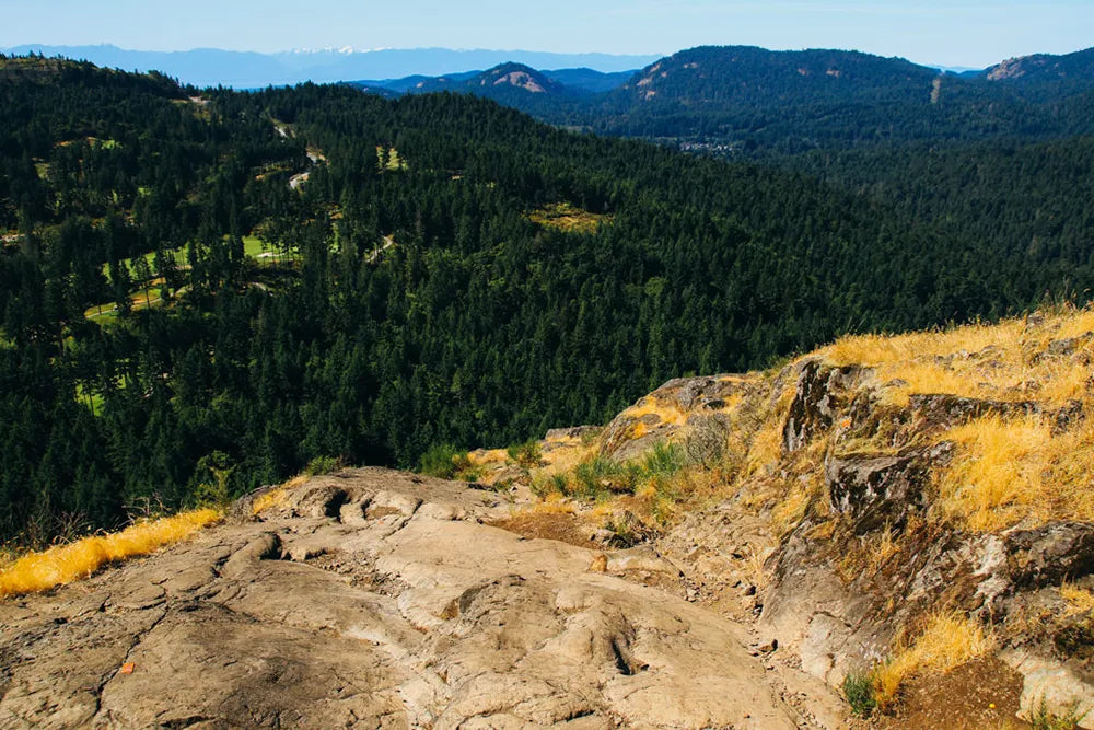
This is a challenging and rewarding hike that takes you to the summit of Mount Finlayson, the highest point in the Gowlland Tod Range. You will enjoy panoramic views of the Saanich Peninsula, the Gulf Islands, and the Olympic Mountains. The trail is located in Goldstream Provincial Park, near Victoria, and has some steep and rocky sections, so be careful.
- Official website: Mount Finlayson Loop
- Trail map: Mount Finlayson Loop Map
- Hike time: 1.5 hours
- Distance: 4 km
- Elevation gain: 410 m
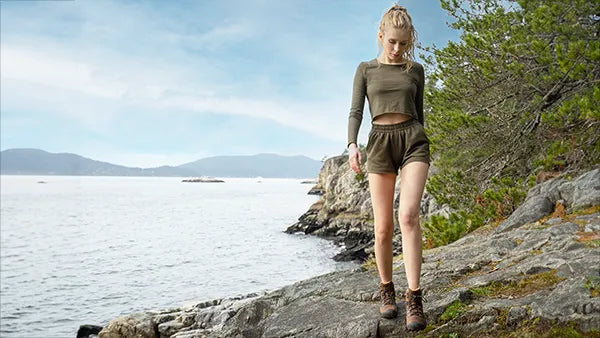
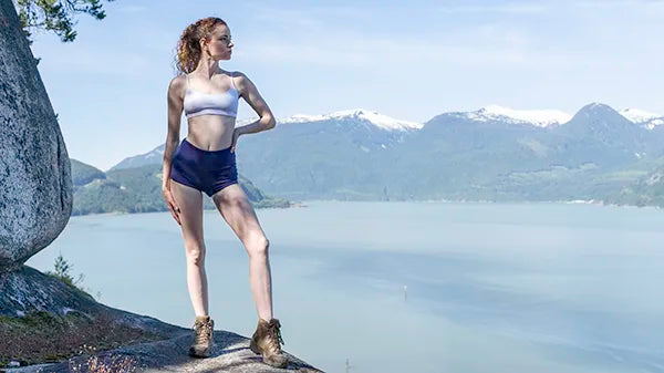
Looking for some Eco-Friendly outfit ideas for your next hike, we've got you covered with sustainable earth friendly hiking outfits here.
 |
 |
| How to Dress for Day Hike | Cute, Sustainable Hiking Outfits |







Leave a comment